Contact Info
- Phone:
- 575-586-0520
Basics
- Difficulty:
- Easy,
Intermediate - Trailhead Elevation:
- 9200 feet
- Elevation Range:
- 9200 feet to 10800 feet
- Elevation Change:
- 1600 feet
- Usage:
- Moderate
- Season:
- Year Round
Description
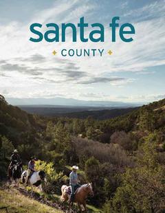
In the summer months the trail is used for hiking, mountain biking and horseback riding. In the Winter he trails are used for cross country skiing, snowmobiling and snowshoeing.
Details
Difficulty:
Intermediate
Trailhead Elevation:
Elevation Range:
Elevation Change:
Usage:
Season:
Useful Map(s):
Map + Directions
Basic Directions
This is a through trail that you can access from either end. One trailhead is located about three miles south of Comanche Point on Forest Road 1950. The other is located north of Comanche Point on Forest Road 1900 near the Valle Vidal boundary. Both trailheads are signed. Typically, though, it is difficult to drive past Comanche Point. Check with the district office for snow conditions. It is about 10 miles from either end to Little Costilla Peak. Views of Big Costilla Peak and the Latirs are spectacular. The trail follows old logging roads that frequently fork. A quad map would be helpful.


