


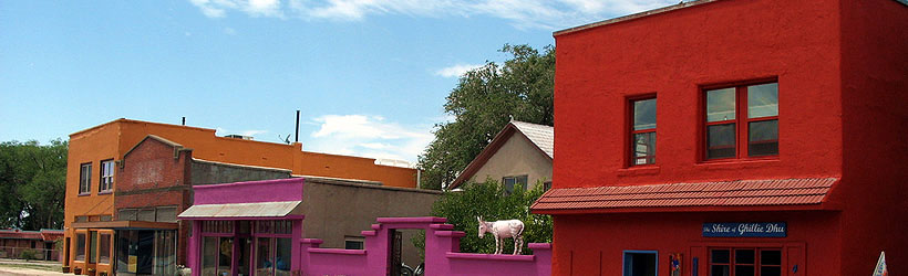


Carrizozo (pop 1,200)is a tiny little town in the middle of abundant recreational opportunity, situated in the valley between the Jicarilla Mountains, the Sierra Oscuro Mountains and the El Malpais lava flow. Located in close proximity to Valley of Fire National Recreation area and Three Rivers Petroglyphs, and surrounded by several mountain ranges, Carrizozo offers its visitors a glimpse into small town New Mexico while on the same token, feeding their craving for adventure.
Carrizozo is located at the junction of US Highway 54 which connects with Santa Rosa to the north and El Paso, Texas to the south and US Highway 380 which traverses New Mexico from east to west. Accommodations in Carrizozo are limited, but clean & affordable. Visitors will find a handful of dining options featuring menus stacked with filling good ol' American meals. To learn more about Carrizozo, select a topic of interest from the left-hand navigation bar.