New Mexico Map

Request Free Visitor Guides

Jemez Falls (Nm) Picnic Area

Basics
Number of Sites:
1

Amenities

Special Features
  • Fishing

Details

Season
Open through Mon Sep 09 2013
Location
Getting There:
GPS Info. (Latitude, Longitude):
35.81694, -106.60611
35°49'1"N, 106°36'22"W

From Jemez Springs, New Mexico, travel 15 miles northeast on State Road 4 to Forest Road 133 South. Continue approximately 1.5 miles to the day-use area.

Basic Info
Total Sites:
1
A trailhead to Jemez Falls is located within the day-use area. It leads to both Jemez Falls and McCauley Warm Springs. Visitors also enjoy fishing the Jemez River, a small trout stream stocked with catchable rainbow trout.

Map + Directions


Copyright © 1997 - 2024 The Go Travel Sites. All Rights Reserved and.

Email Page Link

Complete the form below to email this page to a friend or family member's email. You can send yourself an email as well. Your email and your recipient's email will NOT be shared with anyone. See our full Privacy Policy for details.
:
:
:


:
Copy Yourself on the Email Yes No
:
:

1

Select a Free Visitor Guides below

2

Complete the form to receive your guides by mail

Below are the Free Visitor Guides for Los Alamos. More Visitor Guides are available in New Mexico. Click here to view them all!

Santa Fe Santa Fe Santa Fe
North CentralSanta Fe has a rich cultural history and used to be considered the capital for the Spanish "Kingdom of New Mexico". These days, visitors can enjoy the many museums, galleries and dining options available in this beautiful and historic city.
Request this Free Visitor GuideRequested! You're all set! Request a few more Visitor Guides, or complete the form below to receive your guides by mail.
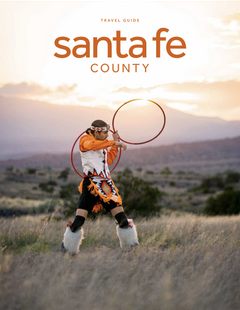
Santa Fe County Santa Fe County Santa Fe County
North CentralWelcome to Santa Fe County! - For the Adventurous Traveler who craves Authentic Experiences.
Request this Free Visitor GuideRequested! You're all set! Request a few more Visitor Guides, or complete the form below to receive your guides by mail.