New Mexico Map

go-newmexico.com

Our new sites are now in beta, tell us what you think

Raton, New Mexico - Transportation

Maps, Directions, Airports, Rental Cars, Shuttles,...

Transportation information for Raton is provided below. Travel information includes driving directions, maps, airport information and more.

Results


Request Your Free Travel Planners

Raton Municipal Airport/Crews Field (505-445-9207) is about 10 miles outside of town. The closest major airports are the Santa Fe Municipal Airport or the Albuquerque International Airport, the latter of which is approximately 230 miles to the southwest. The Raton Municipal Airport/Crews Field offers 20 flights arriving and departing daily.

  • Transportation Services

Enterprise Rent-A-Car Get a free upgrade on your next rental - most Airport Locations. BOOK NOW! Enterprise Rent-A-Car offers great rates and great service. Choose from over 6,500 locations near your home, work or destination.

Basic Directions

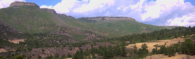
The town of Raton is located in the northwestern corner of the state very close to the New Mexico / Colorado border and is approximately 2 hours away from Taos. Raton is best accessed from Colorado to the north or Santa Fe from the south on I-25.

Customizable Directions
From:    To: 
Language: 

Formatted DirectionsMap

Email Page Link

Complete the form below to email this page to a friend or family member's email. You can send yourself an email as well. Your email and your recipient's email will NOT be shared with anyone. See our full Privacy Policy for details.
Your name:
Your email address:
Friend's email(s):


Send yourself a copy: Yes No
Subject:
Body: